


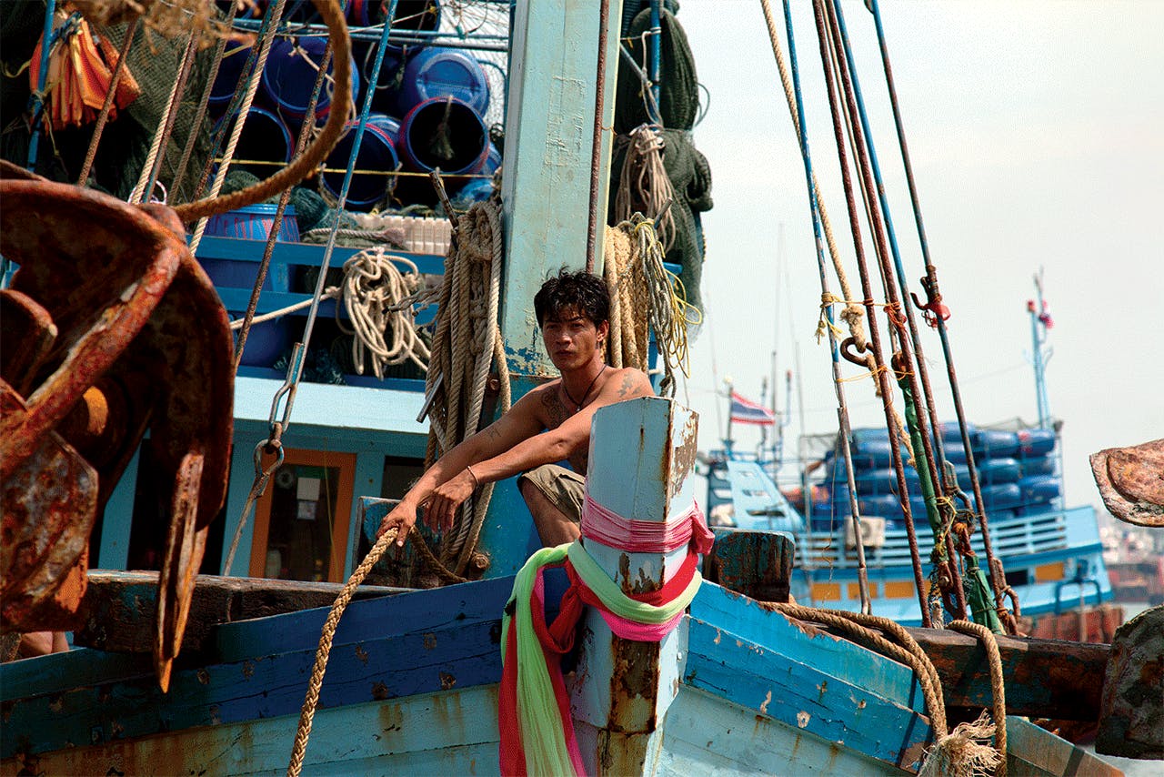
Until recently, concerns over the state of the world’s fisheries were limited to overfishing, habitat destruction, and global warming. Fish caught out of season or to excess—aka “illegal, unreported, and unregulated,” or IUUs—determined whether ethical consumers thought seafood was suitable to eat or not. However, that changed three years ago, when revelations about the working conditions aboard Thailand’s fishing fleet came to light.
In 2015, two thousand fishers were rescued from desperate working conditions. A series of investigative reports from nonprofit organizations and global media outlets showed that life was nasty and brutish for fishing crews originating from Southeast Asia. As reporters at The Guardian and The New York Times noted, the adage “out of sight, is out of mind” is especially true of fishing vessels operating in remote corners of the world.
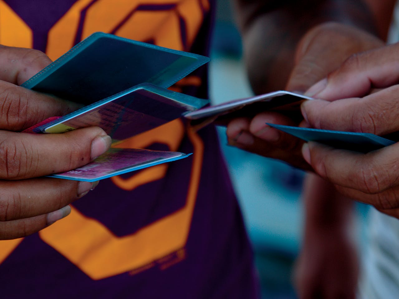
Of particular concern was the plight of undocumented migrants from Myanmar and Cambodia, who suffered harsh, slave-like working conditions at the hands of unscrupulous Thai fishing-boat captains. In short, the reports revealed that Thailand’s fishing fleet (the fourth largest in the world) demonstrated a basic lack of regard for the rights of their migrant crews.
Despite calls for reform and promises made by the Thai government to rein in the offenders, a follow-up report by the nonprofit organization Human Rights Watch (HRW) indicates that a dark cloud still hangs over the Thai fishing fleet. The report, “Hidden Chains: Forced Labor and Rights Abuses in Thailand’s Fishing Industry,” reveals the degree to which the problems continue. Migrant fishers were unable to leave their vessels, feared physical abuse, and were forced to work long shifts without relief.
For European Union and United States seafood distributors, winnowing human rights abuses out of the seafood supply chain is proving to be difficult. For starters, fishing vessels operate miles from shore, and various loopholes in maritime law mean fishing boat captains are able to bypass regulations designed to prevent IUUs and labor abuses from occurring.
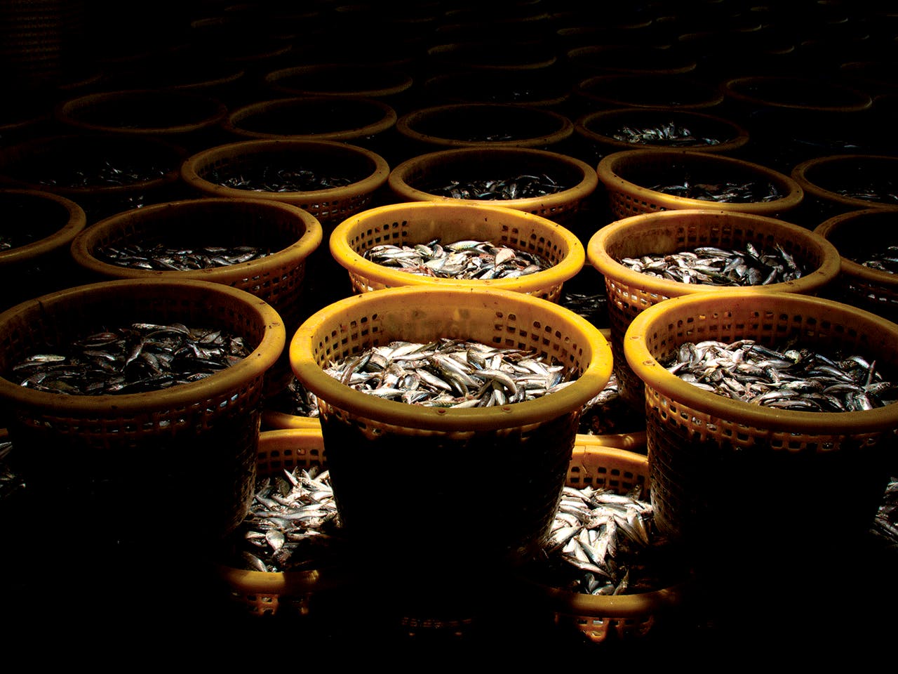
Fish are one of the most heavily traded food commodities in the world, with more than half of the seafood harvested coming from developing countries. The United Nations’ Food and Agriculture Organization estimates up to 23 million tons of fish, worth $26 billion, are caught illegally each year, which makes it difficult to bolster sustainable fisheries in the world’s oceans.
Enter the nonprofit organization Global Fishing Watch (GFW), a team of technologists and marine scientists determined to provide greater accountability and traceability for the global seafood supply chain. Launched in 2016, GFW is a spinoff of the American nonprofit SkyTruth, itself founded in 2001 by John Amos to map and monitor threats to the world’s natural resources via satellite imagery. The idea for GFW came about after researchers at Google suggested that their expertise with cloud computing could be utilized to uncover IUUs and maritime slavery.
GPS-enabled communications technology, when paired with other forms of data, can be quite effective at tracking commercial fishing vessels in locations where IUUs are known to occur. Most oceangoing vessels are required to carry an automatic identification system to transmit their identity, location, and speed to other boats in the vicinity, and these messages are also sent to land-based observers via satellite.
“By matching this data with satellite images, we’re able to map vessels all over the world,” said Bjorn Bergman, an analyst with SkyTruth.
AIS technology was designed to prevent collisions and shipwrecks, but one of its unintended consequences was that the transmissions are viewable via websites like marinetraffic.com. To the untrained eye, the data-generated maps published on these niche websites resemble a pointillist painting—a colorful pastiche of specks subject to numerous interpretations.
Software designed by GFW turns those colorful dots into detailed interactive maps. Researchers gathered billions of points of data from AIS transmissions from 70,000 ships to create a map of global fishing activity. By using machine learning and observing ship movements, the team then created an algorithm that enables GFW to determine when and where fishing vessels are active, and what that activity implies.
“As we worked with the data, we realized we could determine what the vessels were up to, based on the way they were moving on the water,” Bergman said.
GFW homed in on refrigerated cargo ships, known as reefers. These large vessels serve as warehouses and depots for global fishing fleets on the high sea. Transshipment, the act of offloading the catch from multiple ships onto reefers miles from shore, enables fishing fleets to remain at sea indefinitely.
Between 2012 and 2017 GFW, gathered enough data to identify 641 vessels capable of transshipping. They found 5,783 incidences where fishing vessels had the opportunity to rendezvous with reefers. In general, these encounters occurred on the high seas, and in waters with high rates of IUU fishing.
However, though the analytics GFW generates on transshipping are comprehensive, they are not complete. For starters, most but not all oceangoing vessels are required by the International Maritime Organization to carry AIS transponders for insurance purposes. Smaller fishing vessels do not have to carry an AIS, and then there are fishing vessels that “go dark “ to avoid detection.
Going dark is not a clear sign fishing vessels are operating outside the law, according to Bergman. On occasion, fishing vessels will go dark for legitimate reasons, such as avoiding the risk of a hijacking at sea, or when the AIS signal fails to broadcast due to rough weather.
However, it’s the unknown unknowns that continue to vex officials tasked with monitoring fishing fleets. “Many vessels operate far from home, and transshipping enables them to stay on the fishing grounds for extended periods of time,” said Mark Young, a fisheries compliance and enforcement expert with the Pew Foundation. “It’s part of the business model.” What concerns Young is “the lack of oversight and the ability to verify the activity as it occurs.”
Gaps in information and loopholes in regulation further exacerbate the situation. Many vessels continue to fly flags of convenience, meaning boat owners intentionally register their vessels in countries with lax oversight. The practice is often linked to a grab bag of problems, including safety violations and forced labor.
Lacey Malarky, an analyst at the marine conservation organization Oceana and coauthor of the report “No More Hiding at Sea,” relied on GFW’s data to reveal global hot spots and transshipping incidents that seemed off. “Oceana’s latest report identified four examples of vessels ‘going dark’ to public tracking systems in locations that may raise suspicions and warrant further investigation,” Malarky stated in an email.
Their findings included vessels going dark in marine protected areas, where commercial fishing is prohibited, and in West African waters, where the rate of IUUs is high. In addition, vessels from four EU countries were suspected of illegal fishing activity, and one Spanish vessel is currently under investigation.
Governments with fishing grounds to protect are starting to pay attention. Indonesia, a nation weary of fishing fleets plundering their resources, declared war on illegal fishing activity in 2014. In doing so, the government announced a ban on foreign fishing vessels and transshipments in its territorial waters. After making a show of force by blowing up boats seized in government raids, Indonesian officials changed tactics. In 2017, officials decided to share the nation’s government-owned fishing and marine database with GFW. Running their proprietary information through GFW’s software yielded interest yielded interesting results. Nearly five thousand fishing vessels that had previously gone undetected in Indonesian waters appeared on maps for all to see.
In 2018, Oceana intends to release a report on the links between transshipping and labor abuse. In the meantime, maps offering a window on this hidden world can be downloaded at globalfishingwatch.org.